Roatán
Bay Islands, Honduras
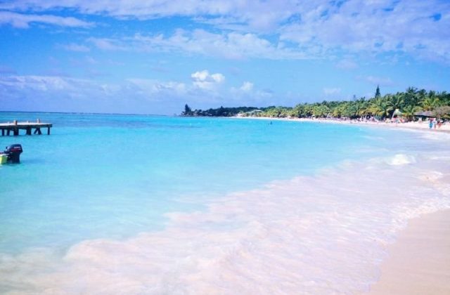
Roatán is the largest of the Bay Islands of Honduras, a thin coral ridge about 59 km long and under 8 km wide, lying 65…
138 tours & trips
Honduras · Caribbean Sea · Beach island
Utila is the smallest of the three main Bay Islands of Honduras, a low island at the southern end of the Mesoamerican Barrier Reef, an hour by ferry from La Ceiba. It is known for some of the cheapest dive courses in the world, year-round chances of whale sharks and a relaxed, English-speaking island culture.
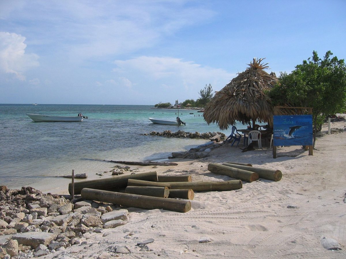
Photo: Rythie, CC BY 3.0
| Getting there | Ferry from La Ceiba in about 1 h, usually twice a day; small airstrip with occasional flights |
|---|---|
| Gateway | La Ceiba (ferry) |
| Travel time | About 1 h by ferry |
| Days | 3 to 5 nights; a week for a dive course |
| Best months | Feb–Aug drier with calmer seas; Oct–Jan rainy with northerly storms |
| Getting around | Walk or take a tuk-tuk in town; rent a bike, scooter or golf cart |
| Booking | Ferries a day ahead in Easter week; dive courses and rooms on arrival most of the year |
| Cost | Cheap, even by Honduran standards |
| Beaches | Few good beaches: Chepes Beach in town, Pumpkin Hill Beach in the north, Water Cay for sand |
| Sea | Caribbean Sea |
| Archipelago | Bay Islands |
| Area | 42 km² |
| Population | 3,947 (2013) |
| Highest point | 74 m (Pumpkin Hill) |
| Ferry | 1 h from La Ceiba (ferry) |
| Car-free | No |
| Checked | October 2026 |
Very little is sold online for Utila apart from shared transfers between the island and La Ceiba, which combine the ferry ticket with a minibus to or from the mainland airport or bus station. They are useful if you are arriving late or connecting from San Pedro Sula, but you can buy the ferry ticket at the dock yourself.
Everything else is arranged on the island. Utila is above all a place to dive: a dozen or more dive centres along the main street offer open-water courses over three or four days, advanced and specialty courses, and fun dives to the north and south coast reefs. Course prices often include basic accommodation, and competition keeps them among the lowest in the Caribbean. Whale-shark trips run on the dive boats, with snorkellers jumping in when one is spotted; sightings are never guaranteed. Boat trips to Water Cay for a day of swimming and picnics, kayak rentals for the mangrove canals and guided walks to the iguana station are arranged at the dive shops or guesthouses.
The plain recommendation: walk the main street, talk to two or three dive centres about class sizes and equipment, and choose the one that suits you rather than the cheapest.
Reefs surround the island, with walls, canyons and coral gardens a short boat ride from town. The north side has deeper walls and is dived when the weather allows; the south side is calmer and good for training. Expect turtles, rays and big schools of reef fish, and the wreck of the Halliburton off the south coast.
The deep water off the north coast is one of the best places in the Caribbean to meet whale sharks, which feed near the surface on small fish. They can turn up in any month, with peaks in spring and again late in the year. Boats watch for feeding birds and boiling water; follow the crew's rules and never touch the animals.
Off the south-west tip, Pigeon Cay and Jewel Cay are joined by a causeway and home to a small fishing community. Nearby Water Cay is an uninhabited sandbar with palms and clear water, the best beach in the area. Boats from town take about 20 minutes, and a day there with a picnic is a classic outing.
At 74 metres, Pumpkin Hill is the island's highest point, an old volcanic cone. A rough road from town leads past it to Pumpkin Hill Beach, a small sandy cove with good snorkelling. Allow about an hour by bike or a short ride by scooter, and bring water.
A small research and breeding centre near the town protects the Utila spiny-tailed iguana, a species found only in the island's mangroves. Volunteers show visitors the animals and explain the threats from hunting and habitat loss. It opens on a few mornings a week; check the hours in town.
Live dates and prices. Free cancellation on most tours.
The usual route is the passenger ferry from the Cabotaje dock in La Ceiba, on the mainland coast, which takes about an hour and usually sails twice a day in each direction. Buy tickets at the dock; in Easter week and on holiday weekends, book a day ahead. The crossing can be rough, so take seasickness tablets if you need them. La Ceiba has a domestic airport and buses from San Pedro Sula, the main international airport, about three hours away. Utila has a small airstrip with occasional light-aircraft flights from La Ceiba and Roatan; check whether they are operating. Boat connections to Roatan are less regular than the La Ceiba ferry. There is no car ferry for visitors and no need to bring a car.
Utila Town spreads along one main road by the harbour, and most of it is walkable. Tuk-tuks run along the road day and night for a small fare. Bikes are the most popular way to explore; scooters, quads and golf carts can be rented for the rough roads to the north side and the airstrip. Water taxis go to the cays. Watch for potholes and fast traffic in town at night.
Utila is warm all year, with air temperatures around 28 to 32 degrees and sea water near 27 to 29. February to August is the driest period, with calm seas and good visibility; March and April bring crowds from the mainland for Easter week, when rooms and ferries fill. Whale sharks can appear in any month, with good chances in spring and again from about September to December.
October to January is the rainy season, with heavy downpours and northerly storms that can roughen the seas, stop the ferry for a day and close the north-side dive sites. Prices change little through the year. The hurricane season runs from June to November, with the highest risk in September and October, although direct hits are rare. Plan three to five nights for diving, or a week for a full course.
Most visitors stay in Utila Town. The east side near the dock has many dive centres, cheap rooms and bars; the west end, towards Sandy Bay, is quieter, with more comfortable hotels and sunset views. A few lodges on the north coast and the cays offer seclusion, but you need a boat to reach town. Many dive shops include a room in their course price.
Columbus reached the Bay Islands on his fourth voyage in 1502, and for the next three centuries the islands were a base for pirates and contested between Spain and Britain. In the nineteenth century English-speaking settlers, many from the Cayman Islands, made Utila their home, and the island stayed under British control until it passed to Honduras in 1861. Their descendants still speak a Caribbean English. Divers arrived from the 1980s, and since 2013 the whole island and its cays have been protected as a Ramsar wetland.
Utila pairs naturally with Roatan, the largest Bay Island, with its beaches and resorts, and with La Ceiba on the mainland for Pico Bonito National Park and rafting on the Cangrejal River. Further east, the quiet Cayos Cochinos are reached by boat from the mainland.
Ferry from La Ceiba in about 1 h, usually twice a day; small airstrip with occasional flights.
From La Ceiba (ferry): about 1 h by ferry.
3 to 5 nights; a week for a dive course.
Feb–Aug drier with calmer seas; Oct–Jan rainy with northerly storms.
Walk or take a tuk-tuk in town; rent a bike, scooter or golf cart.
Go if you want to learn to dive cheaply, look for whale sharks and enjoy a laid-back backpacker scene. Skip it or choose Roatan if you want long white beaches, resort comfort or quieter evenings. With about 1 h each way from La Ceiba (ferry), a day trip is easy to do.
Cheap, even by Honduran standards.
Few good beaches: Chepes Beach in town, Pumpkin Hill Beach in the north, Water Cay for sand.
Ferries a day ahead in Easter week; dive courses and rooms on arrival most of the year.
Yes. Boat trips, guided tours and day trips for Utila can be booked online; live prices and free cancellation on most are shown on this page.
Bay Islands, Honduras
Roatán is the largest of the Bay Islands of Honduras, a thin coral ridge about 59 km long and under 8 km wide, lying 65…
138 tours & trips