Skip to content

Which one to choose in Yaeyama Islands

Iriomote vs Yonaguni

Two islands in Yaeyama Islands. Iriomote has 12 tours to book; Yonaguni has 2 tours to book. The table and the two notes below put them side by side; the full pages have how to get there, what to see and when to go for each.

Iriomote

Iriomote

Yaeyama Islands, Japan

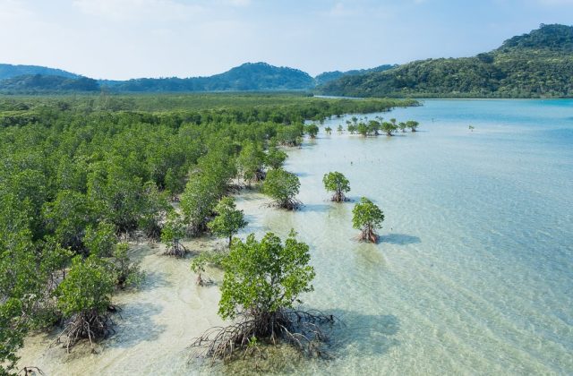
Iriomote is the largest of Japan's Yaeyama Islands, a mountainous island of subtropical jungle and mangrove rivers 40 minutes by ferry from Ishigaki, with one coastal road and about 2,300 people. Most of it is national park and part of a UNESCO natural site, home to the rare Iriomote wildcat.

Read the full guide →

Yonaguni

Yonaguni

Yaeyama Islands, Japan

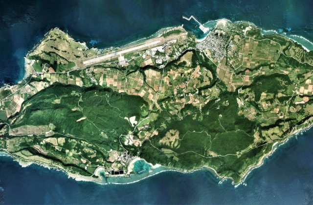
Yonaguni is the westernmost island of Japan, a hilly island of about 29 square kilometres in the Yaeyama group, just 107 km from Taiwan. Divers come for winter hammerhead sharks and the mysterious underwater rock terraces of the Monument, others for wild horses, sea cliffs and the last sunset in Japan.
Read the full guide →

Side by side

IriomoteYonaguni
Gateway & travel time40 to 50 min by high-speed ferry from Ishigaki (ferry to Ohara or Uehara)30 min by air, about 4 h by ferry from Ishigaki (flight or ferry)
Days1 to 2 nights3 to 5 nights
Best monthsMar–May and Oct–Nov; rainy season mid-May–June; typhoon risk Jul–SepOct–May; hammerheads Dec–Mar; Apr–Jun pleasant; typhoons Jul–Sep
CarRent a car; buses along the single road are infrequent; tours collect youRent a car or scooter; a few community buses a day; distances are short
CostMid-range for Japan; guided tours are the main expenseMid-range for Japan
BeachesCoral beaches: Hoshizuna with star sand, Tsuki-ga-hama and Barasu islet; sharp coral, wear shoesFew swimming beaches: Nanta beach by Sonai and Higawa bay; most of the coast is cliff and rock
Area289 km²29 km²
Population2,347 (2005)1,491
Highest point470 m (Mount Komi)231 m (Mount Urabu)
Tours online122

Where they are

Tours and activities in Yaeyama Islands