Skip to content

Which one to choose in Yaeyama Islands

Ishigaki vs Yonaguni

Two islands in Yaeyama Islands. Ishigaki has 55 tours to book; Yonaguni has 2 tours to book. The table and the two notes below put them side by side; the full pages have how to get there, what to see and when to go for each.

Ishigaki

Ishigaki

Yaeyama Islands, Japan

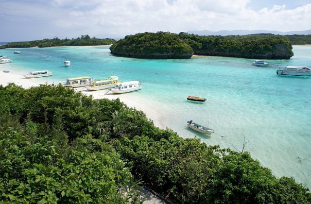
Ishigaki is a subtropical island in the far south of Japan, about 400 km south-west of Okinawa's main island and closer to Taiwan than to Tokyo. It is the hub of the Yaeyama Islands, with coral reefs, mangrove rivers, a turquoise bay at Kabira and Mount Omoto, at 525 metres the highest peak in Okinawa Prefecture.

Read the full guide →

Yonaguni

Yonaguni

Yaeyama Islands, Japan

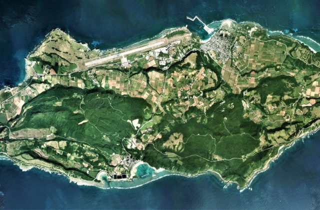
Yonaguni is the westernmost island of Japan, a hilly island of about 29 square kilometres in the Yaeyama group, just 107 km from Taiwan. Divers come for winter hammerhead sharks and the mysterious underwater rock terraces of the Monument, others for wild horses, sea cliffs and the last sunset in Japan.
Read the full guide →

Side by side

IshigakiYonaguni
Gateway & travel timeAbout 1 h by air from Naha; 3.5 h from Tokyo from Ishigaki airport; flights from Tokyo or Naha30 min by air, about 4 h by ferry from Ishigaki (flight or ferry)
Days3 to 5 nights3 to 5 nights
Best monthsApr–Jun and Oct–Nov; rainy May–Jun; typhoon risk Aug–SepOct–May; hammerheads Dec–Mar; Apr–Jun pleasant; typhoons Jul–Sep
CarRent a car; buses circle the island; ferries to the outer islands from the portRent a car or scooter; a few community buses a day; distances are short
CostMid-range by Japanese standardsMid-range for Japan
BeachesWhite coral sand: Yonehara for snorkelling, Sukuji for families; no swimming in Kabira BayFew swimming beaches: Nanta beach by Sonai and Higawa bay; most of the coast is cliff and rock
Area222 km²29 km²
Population47,666 (2007)1,491
Highest point525 m (Mount Omoto)231 m (Mount Urabu)
Tours online552

Where they are

Tours and activities in Yaeyama Islands