St Barths
52 km away
St Barths is a small, hilly French island of about 24 square kilometres in the north-eastern Caribbean, 30 km…
1 tour
Dutch Caribbean · Caribbean Sea · Nature & wildlife island
Saba is a tiny Dutch Caribbean island of 13 square kilometres, essentially the top of a dormant volcano, Mount Scenery, which at 870 metres is the highest point of the Kingdom of the Netherlands. It has no real beaches, but offers superb diving, steep hiking trails and four tidy villages of white houses with red roofs.
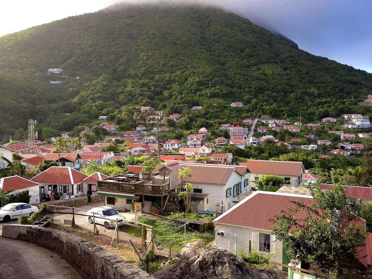
Photo: Carl Pruneau, CC BY-SA 3.0
| Getting there | Short flights from Sint Maarten about 15 min, or ferries from Sint Maarten about 1 to 1.5 h |
|---|---|
| Gateway | Sint Maarten (Princess Juliana airport) |
| Travel time | 15 min by air or about 1.5 h by ferry |
| Days | 3 to 5 nights |
| Best months | Dec–Apr dry season; hurricane season Jun–Nov |
| Getting around | One winding road; taxis, a few rental cars and hiking trails |
| Booking | Flights from Sint Maarten and dive packages well ahead in winter |
| Cost | Mid-range for the Caribbean |
| Beaches | No real beaches; swim from rocks, a seasonal sandy patch at Wells Bay, or dive |
| Sea | Caribbean Sea |
| Archipelago | Leeward Islands |
| Area | 13 km² |
| Population | 2,158 (2025) |
| Highest point | 870 m (Mount Scenery) |
| Airport | Yes, scheduled flights |
| Car-free | No |
| Checked | November 2026 |
Nothing is sold online for Saba itself. The island covers only about 13 square kilometres, has about 2,000 residents and rises to 870 metres at Mount Scenery. On this island, almost everything is arranged directly with local operators, mostly by email before you arrive or at the dive shops in Windwardside and Fort Bay.
Diving is the main reason people come. Several small dive centres run two-tank boat trips into the Saba Marine Park to pinnacles, walls and reefs, with fees for the park and equipment rental extra. Packages that combine diving and accommodation are common and good value. Snorkelling trips and courses for beginners are also offered.
On land, the Saba Conservation Foundation maintains a network of trails, and local guides lead hikes to Mount Scenery and along the coast. Taxi drivers do island tours of about two hours, covering The Road, the villages and viewpoints. There are also small cultural attractions such as lace-making demonstrations and a museum.
Our advice: book the flights from Sint Maarten and a dive package early, then arrange hikes and a taxi tour once on the island.
The waters around the island were made a marine park in 1987, and the result is healthy reefs, sharks, turtles and large fish. The famous dives are volcanic pinnacles rising from deep water, for experienced divers, while sheltered reefs suit beginners. Boats leave from Fort Bay harbour, and the island has its own hyperbaric chamber for safety.
From Windwardside, a trail of about 1,000 steps climbs through rainforest to the cloud forest on the summit at 870 metres, the highest point in the Dutch kingdom. Allow two to three hours up and back. Start early, before clouds cover the peak, wear good shoes as the steps are slippery, and look for orchids, tree ferns and hummingbirds.
The island's main village sits on a high saddle, with neat white cottages, green shutters and red roofs among flowers. It has most of the shops, restaurants, dive centres and the tourist office, plus the small Harry L. Johnson Museum in an old sea captain's house. It is the starting point for several trails and has wide views of the sea.
Saba's single road, built by hand over two decades, climbs and twists from the airport through Hell's Gate, Windwardside and St Johns down to The Bottom and Fort Bay. A taxi tour lets you stop at viewpoints. The Bottom, the small capital, sits in a green bowl inland and has the government buildings and a medical school.
Before the harbour was built, goods were carried up to The Bottom from Ladder Bay on a stone staircase of about 800 steps, still walkable. Other trails, such as the Sandy Cruz and the Tide Pool route, lead through forest and to rugged coastline. They are steep, so carry water, wear boots and check conditions with the trail office.
Saba is reached from Sint Maarten. Small propeller planes fly from Princess Juliana airport to Saba several times a day, a flight of about 15 minutes that ends on one of the shortest commercial runways in the world, carved into a cliff; luggage limits are strict. Ferries run from Sint Maarten to Fort Bay several times a week, taking about one to one and a half hours, and the crossing can be rough.
Sint Maarten has direct flights from North America and Europe, so most visitors connect there, sometimes with a night on the way. Leave time between connections in case of weather delays. There are no cruise-ship docks for large ships, and the island has no bridge or causeway; you do not need a car on arrival, as taxis meet flights and ferries.
One road links the airport, the villages and the harbour, with steep hairpin bends. Taxis meet arrivals and do island tours, and a few rental cars are available, though many visitors manage without. Hitchhiking is common and considered safe among islanders. Walking between villages is possible but steep, and the hiking trails cover most of the island. There are no buses.
Saba is warm all year, with daytime temperatures in the high twenties at sea level and cooler, damper air in Windwardside and on the mountain. The dry season from December to April is the most popular, with clear days for hiking and calm water for diving; this is also when flights and dive packages fill first.
The hurricane season runs from June to November, peaking in August to October, with more rain and the risk of storms that can disrupt flights and ferries. Visibility for diving is often excellent in late spring and summer, when prices are lower. The island holds the Sea and Learn programme in October and celebrates Saba Day in early December. Three to five nights suits most visitors; divers often stay a week.
Windwardside is the most convenient base, with most guesthouses, restaurants and the dive centres within walking distance, and views over the sea. The Bottom is quieter and closer to Fort Bay harbour. A few eco-lodges and cottages sit higher on the slopes or near the trails, suiting hikers who want rainforest at the door. All accommodation is small; there are no big resorts.
Amerindian people visited and settled Saba long before Europeans, and Columbus sailed past in 1493. Dutch settlers from Sint Eustatius arrived around 1640, and the island changed hands several times before staying Dutch from 1816. Life was hard: men went to sea, and women made fine drawn-thread lace that is still sold. The Road and the airport, built in the mid twentieth century, opened the island up. Since 2010 it has been a special municipality of the Netherlands, and the US dollar is used.
Most trips pair Saba with Sint Maarten, the hub for flights, beaches and shopping, 15 minutes away by air. Sint Eustatius, another Dutch island with a historic fort and good diving, is a short flight away. From Sint Maarten, ferries also reach Anguilla and St Barths in under an hour.
52 km away
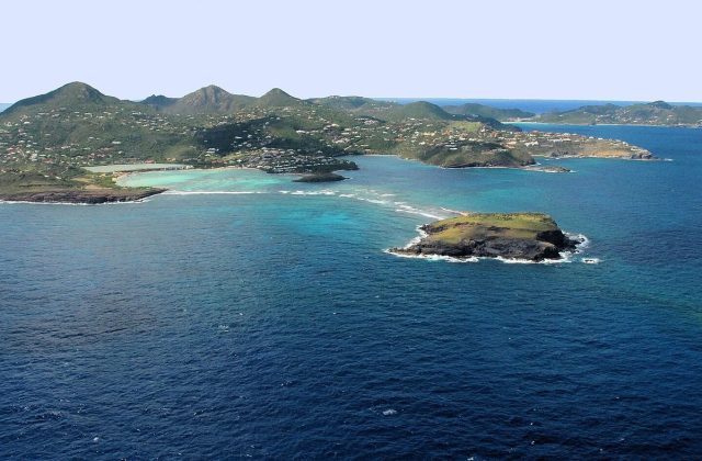
St Barths is a small, hilly French island of about 24 square kilometres in the north-eastern Caribbean, 30 km…
1 tour
63 km away
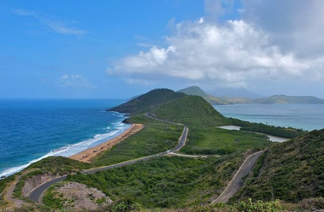
St Kitts is the larger half of the Caribbean federation of Saint Kitts and Nevis, a green volcanic island about 29 km…
5 tours & trips
69 km away
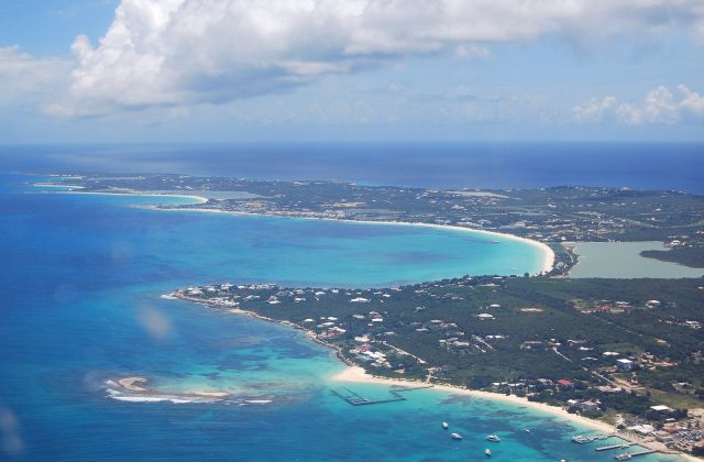
Anguilla is a low, flat coral island in the north-eastern Caribbean, about 26 km long and a British Overseas Territory,…
13 tours & trips
Short flights from Sint Maarten about 15 min, or ferries from Sint Maarten about 1 to 1.5 h.
From Sint Maarten (Princess Juliana airport): 15 min by air or about 1.5 h by ferry.
3 to 5 nights.
Dec–Apr dry season; hurricane season Jun–Nov.
One winding road; taxis, a few rental cars and hiking trails.
Go if you want world-class diving, cloud-forest hikes and a peaceful, friendly island with almost no tourist development. Skip it or choose Sint Maarten or Anguilla if you want sandy beaches, resorts, shopping or nightlife.
Mid-range for the Caribbean.
No real beaches; swim from rocks, a seasonal sandy patch at Wells Bay, or dive.
Flights from Sint Maarten and dive packages well ahead in winter.
Leeward Islands, Dutch Caribbean
Sint Eustatius, known locally as Statia, is a 21-square-kilometre Dutch island in the northern Leeward Islands, between…
No tours listed