St Kitts
30 km away
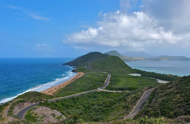
St Kitts is the larger half of the Caribbean federation of Saint Kitts and Nevis, a green volcanic island about 29 km…
5 tours & trips
Dutch Caribbean · Caribbean Sea · Nature & wildlife island
Sint Eustatius, known locally as Statia, is a 21-square-kilometre Dutch island in the northern Leeward Islands, between Saba and St Kitts, with about 3,300 people. Once one of the busiest ports in the Caribbean, it is now a quiet place for diving in a marine park, hiking into the crater of The Quill and exploring colonial ruins.
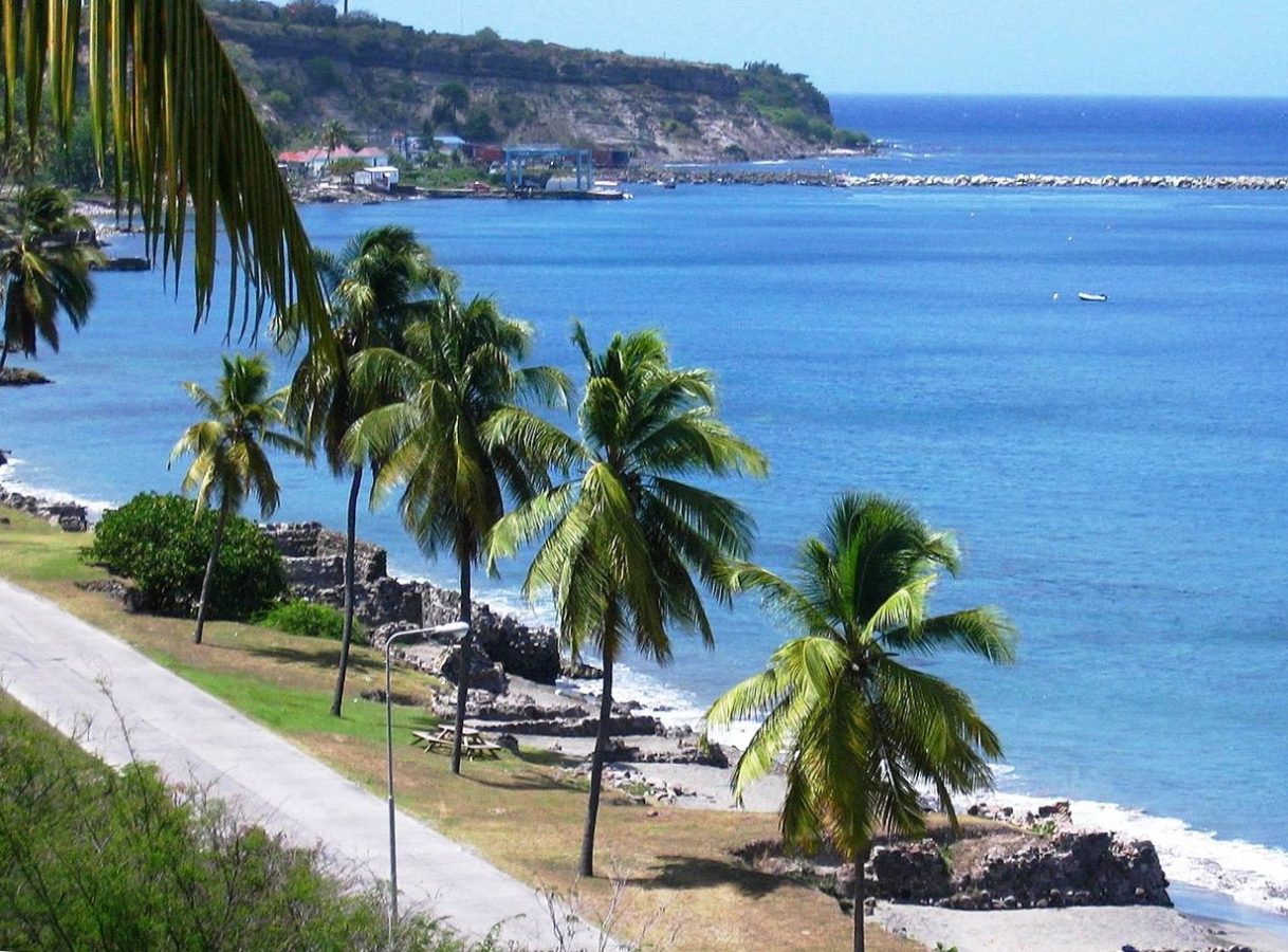
Photo: Walter Hellebrand, CC BY-SA 3.0
| Getting there | Short flights from Sint Maarten (about 20 minutes) and links with Saba to F. D. Roosevelt airport |
|---|---|
| Gateway | Sint Maarten (Princess Juliana airport) |
| Travel time | About 20 minutes by air |
| Days | 3 to 5 nights |
| Best months | Dec–Apr dry season; hurricane risk Jun–Nov, highest Aug–Oct |
| Getting around | Rent a car or use taxis; Oranjestad is walkable |
| Booking | Flights from Sint Maarten and rooms ahead, as both are few; dives a day ahead |
| Cost | Mid-range for the Caribbean |
| Beaches | Small dark volcanic sand beaches; Oranje Beach in Lower Town; Atlantic side unsafe for swimming |
| Sea | Caribbean Sea |
| Archipelago | Leeward Islands |
| Area | 21 km² |
| Population | 3,293 (2023) |
| Highest point | 601 m (The Quill) |
| Airport | Yes, scheduled flights |
| Car-free | No |
| Checked | October 2026 |
Nothing is sold online for Sint Eustatius on its own. Very few visitors come, so there are no packaged day trips from neighbouring islands, and everything is arranged locally after a short flight from Sint Maarten.
Diving is the main activity. Several small dive centres in Lower Town run boat dives in the national marine park that surrounds the island, to coral reefs, lava fingers, sunken colonial walls and purpose-sunk ships, plus snorkelling trips and courses. Dives are booked a day ahead; the price usually covers boat, guide and tanks, while the marine park fee or dive tag is paid separately.
On land, the national park office manages the trails of The Quill and the Boven hills; trails are clear enough to walk alone, but guides can be hired through the park or the tourist office, and are useful for the crater descent. Guided walking tours of Oranjestad, covering the fort, the church ruins and the synagogue, are arranged through the historical foundation museum or your hotel. A taxi driver can show the whole island in two or three hours.
Recommendation: plan two or three days of diving, one morning for The Quill and an afternoon for the historic town.
The dormant volcano at the southern end rises to 601 metres. A trail from the edge of Oranjestad climbs to the rim in about an hour, and a steep path then drops into the crater, filled with rainforest, tall trees, orchids and land crabs. Start early to avoid heat, and wear shoes with grip, as it can be slippery.
The waters around the island form a protected marine park with reefs, volcanic formations and wrecks. Dives include the remains of colonial warehouses and quays now underwater off Lower Town, and the Charlie Brown, a large cable ship sunk as an artificial reef. Expect turtles, rays, reef sharks and very few other divers.
Oranjestad's Upper Town sits on a cliff above the bay. Fort Oranje, with its cannons and walls restored, is where the island fired the first foreign salute to an American flag in 1776. Walk on to the ruined Dutch Reformed Church, whose tower can be climbed, and the ruins of the Honen Dalim synagogue.
A steep road and the old slave path lead down to Lower Town, once lined with hundreds of warehouses; a few restored buildings and ruins remain along the shore, with dive shops and restaurants. The dark-sand Oranje Beach stretches north and is the calmest place for a swim, and turtles nest here in season.
The historical foundation museum occupies an eighteenth-century merchant's house in Upper Town and tells the story of the island from Amerindian finds to the trading boom, slavery and decline. Nearby lanes keep wooden and stone houses with steep roofs. Allow an hour, and ask here about guided town walks.
The northern hills, the remains of older volcanoes, have quieter trails with views of Saba and St Kitts. A small botanical garden lies on the lower slopes of The Quill. The windward Atlantic coast at Zeelandia has a long wild beach, good for walking but dangerous for swimming because of strong currents.
F. D. Roosevelt Airport, close to Oranjestad, is served by small propeller planes from Princess Juliana airport on Sint Maarten, a flight of about 20 minutes, usually several times a day, with some flights linking with Saba as well. Sint Maarten has direct flights from North America and Europe, so most visitors connect there; leave plenty of time between flights and allow for weather delays, as the small planes are often full.
Ferry links with Sint Maarten, Saba or St Kitts have operated at times but are not reliable, so check before planning around them. Visiting yachts anchor in the open bay off Lower Town, and the island has a deep-water oil terminal, but cruise ships rarely call. Bringing a car is not practical; hire one on arrival.
The island is small, about 8 km long, and there is no public bus. Renting a car is easiest; several local firms deliver to the airport or your hotel, and driving is on the right. Taxis meet flights and can be booked by phone. Upper Town is compact and walkable, but the road down to Lower Town is steep. Watch for goats and cattle on the roads.
Statia is warm all year, with daytime temperatures from about 27 to 31 degrees and sea around 26 to 29 degrees. The dry season from December to April brings the most sunshine and steady trade winds, and is the best time for hiking The Quill. May and June are hotter but still good for diving.
The hurricane season runs from June to November, peaking from August to October, when storms can disrupt flights and diving; prices change little, as there is no real high season. Visibility underwater is usually best in calm spells. Statia Day on 16 November commemorates the first salute with celebrations, and the island's carnival takes place in summer. Three to five nights allow several dives, the volcano and the town without hurry, and a week suits keen divers.
Accommodation is limited to a few small hotels, guesthouses and rental apartments. Lower Town, by the water, is best for divers, with dive centres and restaurants within a few steps. Upper Town puts you near the historic sights, shops and views over the bay. A few properties on the slopes of The Quill and in the north offer peace and space but need a car.
Amerindian peoples lived here before the Dutch settled in 1636. In the eighteenth century the island became a duty-free trading hub, nicknamed the Golden Rock, with ships crowding the bay and warehouses lining Lower Town. It supplied weapons to the American rebels, and on 16 November 1776 Fort Oranje saluted an American ship. In 1781 the British admiral Rodney captured and looted the island, and trade never fully recovered. Since 2010 it has been a special municipality of the Netherlands.
Statia pairs well with Saba, the steep green island next door, a short flight away. Sint Maarten, the hub, is about 20 minutes by air and offers beaches, shopping and onward flights. St Kitts lies only a few kilometres south-east across the channel and is easily visible, though regular links are limited.
30 km away
St Kitts is the larger half of the Caribbean federation of Saint Kitts and Nevis, a green volcanic island about 29 km…
5 tours & trips
48 km away
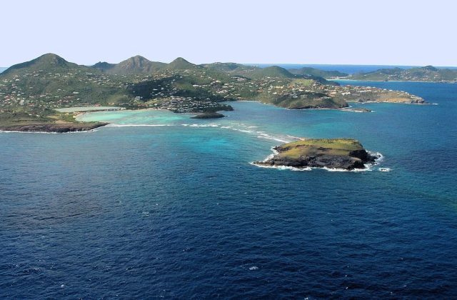
St Barths is a small, hilly French island of about 24 square kilometres in the north-eastern Caribbean, 30 km…
1 tour
55 km away
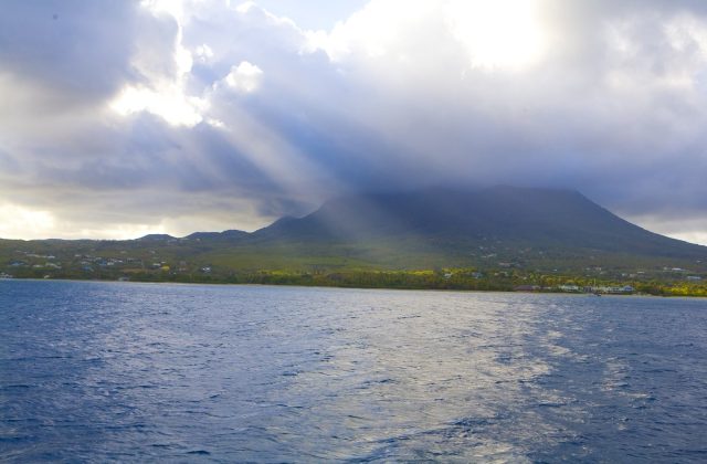
Nevis is a small, round volcanic island in the Leeward Islands, 93 square kilometres around the cloud-capped cone of…
13 tours & trips
Short flights from Sint Maarten (about 20 minutes) and links with Saba to F. D. Roosevelt airport.
From Sint Maarten (Princess Juliana airport): about 20 minutes by air.
3 to 5 nights.
Dec–Apr dry season; hurricane risk Jun–Nov, highest Aug–Oct.
Rent a car or use taxis; Oranjestad is walkable.
Go if you want uncrowded diving, a volcano hike and real colonial history on a tiny island with no mass tourism. Skip it or choose Sint Maarten or St Kitts if you want white-sand beaches, resorts, nightlife and shopping.
Mid-range for the Caribbean.
Small dark volcanic sand beaches; Oranje Beach in Lower Town; Atlantic side unsafe for swimming.
Flights from Sint Maarten and rooms ahead, as both are few; dives a day ahead.
Leeward Islands, Dutch Caribbean
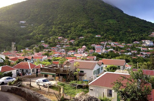
Saba is a tiny Dutch Caribbean island of 13 square kilometres, essentially the top of a dormant volcano, Mount Scenery,…
No tours listed