Aran Islands
Ireland
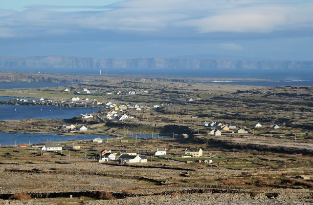
The Aran Islands are three limestone islands at the mouth of Galway Bay, off the west coast of Ireland, covering about…
19 tours & trips
Ireland · Atlantic Ocean · Nature & wildlife island
Valentia Island is one of the most westerly points of Ireland, an island about 11 km long off the Iveragh Peninsula in County Kerry, joined to the mainland by a bridge at Portmagee. It packs cliffs, a slate quarry, fossil footprints and the station of the first transatlantic telegraph cable into a quiet, green detour from the Ring of Kerry.
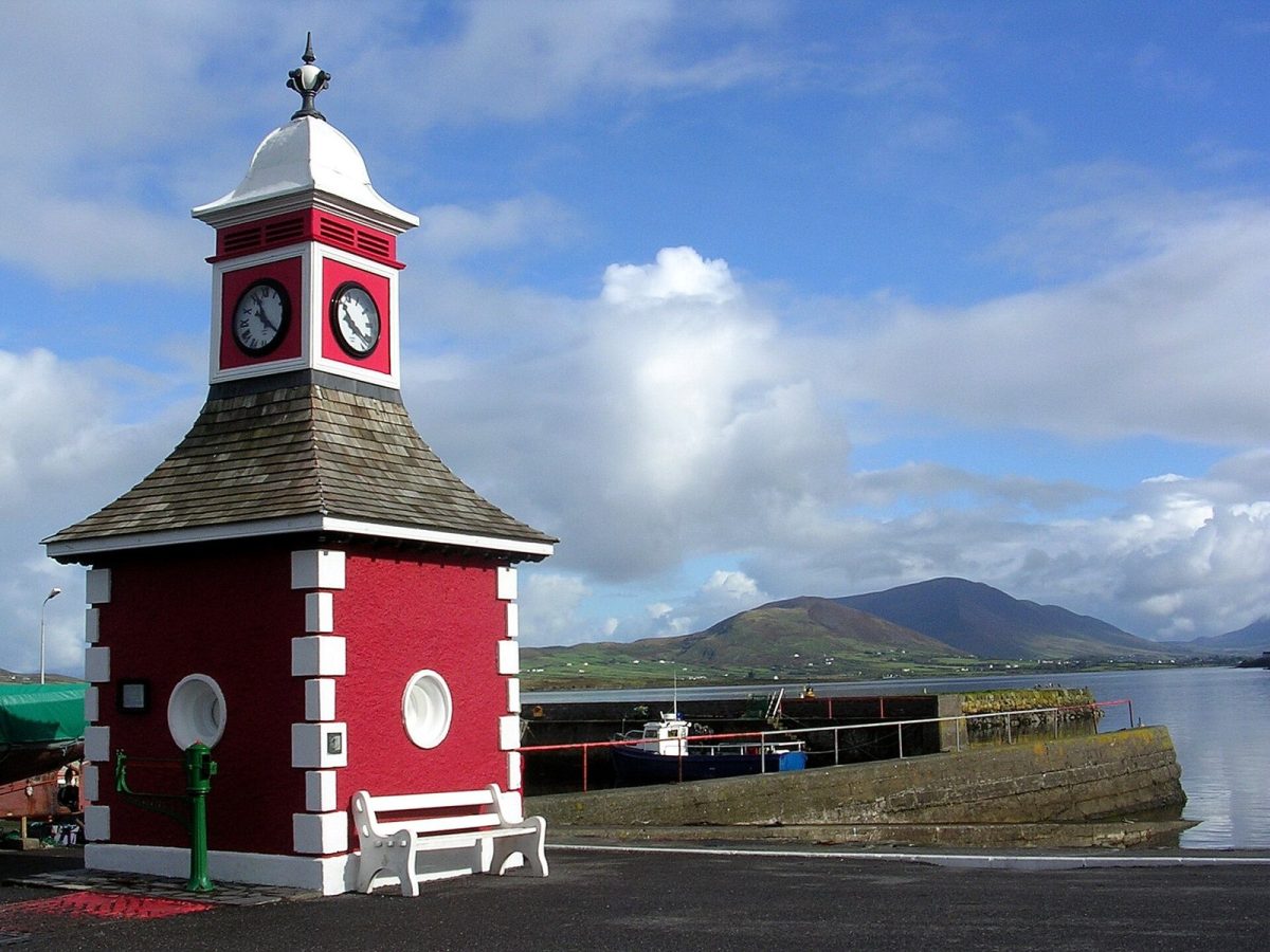
Photo: Jibi44, CC BY-SA 2.5
| Getting there | Bridge at Portmagee, or the 5-min car ferry from Reenard Point to Knightstown, Apr–Oct |
|---|---|
| Gateway | Portmagee (bridge); Reenard Point car ferry |
| Travel time | 5 min by car ferry, or drive straight over the bridge |
| Days | 1 to 2 nights |
| Best months | May–Sep; ferry Apr–Oct; mild but wet and windy in winter |
| Getting around | Car or bike needed; no regular bus; good walking around Knightstown and Bray Head |
| Booking | Skellig Michael landings months ahead; rooms ahead for Jul–Aug |
| Cost | Mid-range for Ireland |
| Beaches | Few beaches: a small sandy cove at Glanleam; the long strands are on the mainland |
| Sea | Atlantic Ocean |
| Area | 26 km² |
| Population | 658 (2022) |
| Highest point | 266 m (Geokaun Mountain) |
| Airport | No |
| Car-free | No |
| Bridge | Road bridge or causeway to the mainland |
| Checked | November 2026 |
Little is sold online for Valentia itself: there is a guided walking tour of the island's history and landscape. Most people visit on their own by car, and that works well.
The local guided walks, led by islanders, cover the cable station, the quarry and the fossil trackway, with stories you will not find on the signs. They last a few hours, need booking, and are a good choice if you are not driving.
Many coach tours of the Ring of Kerry from Killarney follow the Skellig Ring through Portmagee and sometimes cross onto the island for a short stop, but they rarely leave time to walk.
The big extra is a boat to the Skelligs, which leaves from Portmagee and a few other piers nearby. Landing trips onto Skellig Michael are limited by permit, run from May to early autumn in good weather and sell out early. Eco cruises that circle the rocks without landing are easier to get.
The simple plan is a self-drive loop of the island with the quarry, Geokaun and the trackway, plus a Skellig boat booked well in advance.
A narrow road climbs to near the top of Geokaun, the island's highest point, with viewing platforms over the Fogher Cliffs, Dingle Bay, the Blasket Islands and the Skelligs. There is a small entry charge at the gate. Go on a clear evening for the light, and walk the last stretch to the summit.
On the rocks of the north coast, a short walk down from the road, a line of footprints left in mud some 385 million years ago records one of the earliest four-legged animals to walk on land. Signs explain what you see. The prints are easiest to spot when the rock is wet.
On the slopes above Knightstown the old slate quarry, opened in 1816, supplied roofing and billiard tables across Britain. A large grotto was cut into the face, with a statue of the Virgin above and a small shrine. Guided tours of the working quarry run in summer, and the views over the harbour are excellent.
The island's village is a neat grid of houses laid out in the 1840s around a pier and a clock tower. The former cable station, which sent messages to Newfoundland from the 1860s, stands nearby, and panels along a heritage trail tell the story. Cafés and a heritage centre make it the natural lunch stop.
At the western tip, a loop of about 5 km climbs gently from a car park to a ruined signal tower from the Napoleonic wars, then follows the cliffs back. The Skelligs rise from the sea ahead, and choughs and gannets work the cliffs. Allow two hours and keep dogs on leads near the sheep.
North of Knightstown, Glanleam has subtropical gardens laid out in the 19th century and a small sandy beach good for a quiet swim. Nearby, the lighthouse at Cromwell Point guards the harbour entrance and offers guided visits in summer, with fine views back to the mainland and the village.
Live dates and prices. Free cancellation on most tours.
Most visitors drive across the Maurice O'Neill Memorial Bridge from Portmagee, which opened in 1970 and is open all year. From April to October a small car ferry also crosses from Reenard Point, near Cahersiveen, to Knightstown in about five minutes, running frequently through the day; pay on board. It saves a long drive if you are coming along the Ring of Kerry from the north.
Killarney, with the nearest railway station, is about one and a half hours away by road, and Kerry Airport near Farranfore a similar distance. There are few buses, so a car is close to essential.
Roads on the island are narrow and quiet, with plenty of parking.
A car is the easiest way to see Valentia: it is about 11 km from end to end, and the main sights are spread out. Cycling is pleasant on the quiet roads, though the hills are steep and the wind strong, so bring bikes or hire them on the Ring of Kerry.
There is no regular bus. Knightstown is walkable, and Bray Head and the quarry are good walks from the road. Taxis can be booked from Cahersiveen.
Valentia is mild all year thanks to the Atlantic, but wet and windy, and its weather observatory has kept records since the 1890s.
May to September is the main season, with long days, summer temperatures around 15 to 20 degrees, and gardens and wildflowers at their best. May and June are often the driest months. The Skellig boats run from about mid-May to September and are cancelled in rough seas. July and August are busiest on the Ring of Kerry, but the island itself rarely feels crowded.
From October to April the car ferry stops, many cafés and guesthouses close or shorten their hours, and storms can blow for days, though walks can be dramatic. Sea temperature stays cool, around 15 degrees in summer.
One or two nights is enough, more if you plan a Skellig landing.
Knightstown has the most guesthouses, a pub, cafés and the car ferry, and suits walkers and visitors without a car. Chapeltown, in the middle of the island, is quieter. Holiday homes and farmhouse rooms are scattered along the north side, with sea views. Portmagee, across the bridge, is livelier, has pubs with music and is handy for the morning Skellig boats.
The Irish name means oak isle, and the English name comes from the Irish for the harbour mouth, not from Spain. In the 19th century the Knight of Kerry laid out Knightstown, the slate quarry opened, and in 1866 a permanent telegraph cable to Newfoundland made the island a hub of world communication for a century. The weather observatory followed, and fossil footprints found in the early 1990s added another claim to fame. Farming, fishing and visitors keep the small population going today.
Valentia sits on the Skellig Ring, a loop off the Ring of Kerry. Pair it with a boat to Skellig Michael from Portmagee, the Kerry Cliffs near Portmagee, the chocolate factory at St Finian's Bay, and Cahersiveen across the ferry. Derrynane, with its beaches and Daniel O'Connell's house, is about 45 minutes' drive south, and Killarney about one and a half hours east.
Bridge at Portmagee, or the 5-min car ferry from Reenard Point to Knightstown, Apr–Oct.
From Portmagee (bridge); Reenard Point car ferry: 5 min by car ferry, or drive straight over the bridge.
1 to 2 nights.
May–Sep; ferry Apr–Oct; mild but wet and windy in winter.
Car or bike needed; no regular bus; good walking around Knightstown and Bray Head.
Go if you like coastal walks, odd history and a quiet base for the boats to Skellig Michael. Skip it or choose Inishmore or Achill if you want long sandy beaches or a livelier island with more to do in the evening.
Mid-range for Ireland.
Few beaches: a small sandy cove at Glanleam; the long strands are on the mainland.
Skellig Michael landings months ahead; rooms ahead for Jul–Aug.
Yes. Boat trips, guided tours and day trips for Valentia Island can be booked online; live prices and free cancellation on most are shown on this page.
Ireland
The Aran Islands are three limestone islands at the mouth of Galway Bay, off the west coast of Ireland, covering about…
19 tours & trips
Ireland
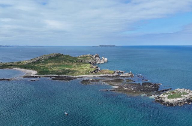
Ireland's Eye is an uninhabited islet of about 24 hectares lying 1.5 km off Howth harbour, a short train ride from…
3 tours & trips
Skellig Islands, Ireland
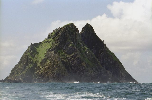
Skellig Michael is a twin-peaked rock rising 218 metres out of the Atlantic about 12 km off the coast of County Kerry,…
3 tours & trips
Ireland
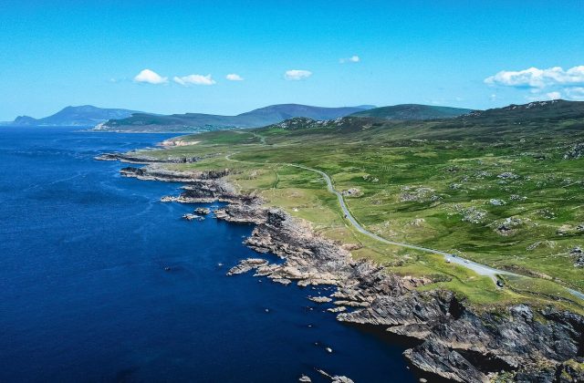
Achill is the largest island off the coast of Ireland, 148 square kilometres of bog, mountain and Atlantic cliffs in…
2 tours & trips
Blasket Islands, Ireland
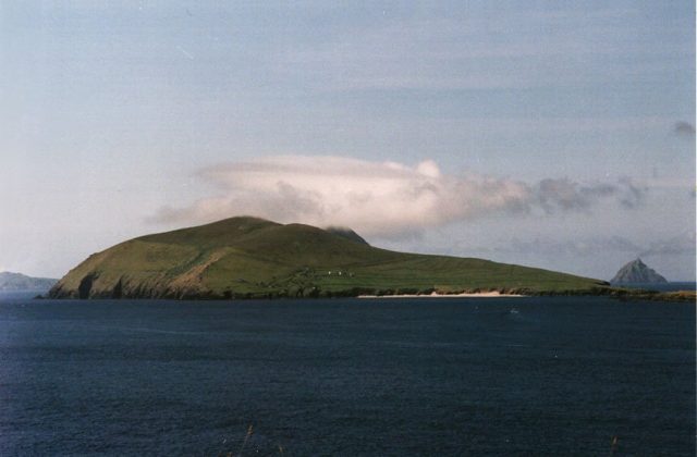
The Great Blasket is a long, grassy ridge in the Atlantic, about 2 km off the tip of the Dingle peninsula in County…
1 tour
Ireland
Spike Island is a 42-hectare island in Cork Harbour, a 15-minute ferry ride from Cobh, almost entirely covered by an…
No tours listed