Oahu
Hawaiian Islands, United States
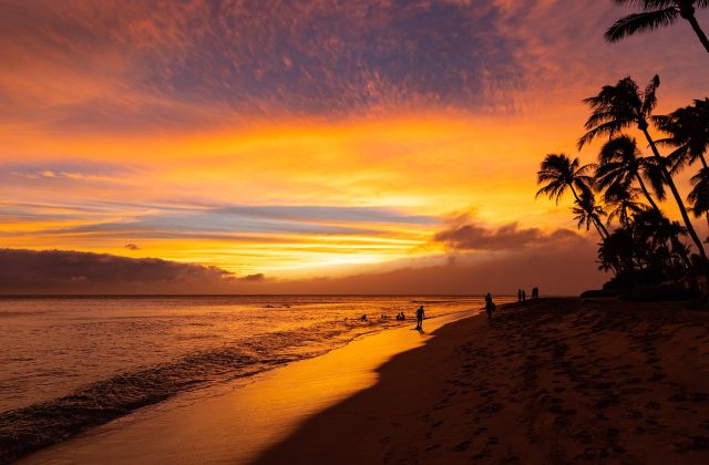
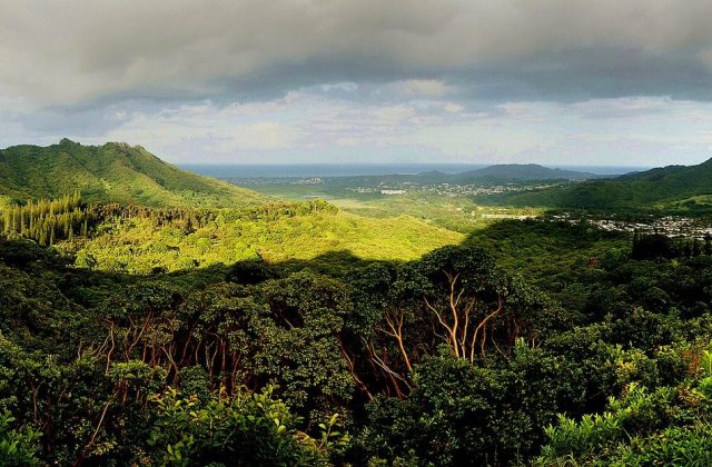
Oahu is the third-largest of the Hawaiian Islands and home to about a million people, two thirds of the state's…
331 tours & trips
United States · Lakes & rivers · Nature & wildlife island
Isle Royale is a roadless wilderness island in north-west Lake Superior, 72 km long and protected as a national park together with hundreds of smaller islands. Reached only by boat or seaplane and closed in winter, it draws backpackers, paddlers and divers for its forests, moose, wolves and shipwrecks.
| Getting there | Ferries from Houghton and Copper Harbor in Michigan or Grand Portage in Minnesota; seaplanes from Houghton |
|---|---|
| Gateway | Houghton or Copper Harbor (Michigan) |
| Travel time | 3 to 6 h by ferry; under an hour by seaplane |
| Days | 3 to 5 nights |
| Best months | Jun–Sep; mid-Apr–May and Oct cold and quiet; park closed Nov to mid-Apr |
| Getting around | On foot or by canoe and kayak; no roads or vehicles; water taxis along the shore |
| Booking | Ferry seats, seaplane and lodge rooms months ahead for Jul–Aug |
| Cost | Mid-range; ferry and seaplane fares are the main cost |
| Beaches | No sandy beaches; rocky shores and pebble coves in very cold water |
| Sea | Lakes & rivers |
| Area | 535 km² |
| Population | Uninhabited |
| Highest point | 425 m (Mount Desor) |
| Airport | No |
| Car-free | Yes |
| Checked | November 2026 |
Nothing is sold online for Isle Royale alone. The island is visited independently: you book the ferry or seaplane yourself, buy a park pass and arrange camping permits or the lodge.
Most people choose one of three ways. Backpackers take the ferry to Rock Harbor or Windigo, collect a permit and hike between the island's three dozen campgrounds, often crossing the whole island along the central ridge. Paddlers bring or rent canoes and kayaks and travel between campsites on the sheltered bays of the north-east, with short portages between inland lakes. Others stay at the lodge at Rock Harbor, the only hotel, and do day hikes and boat excursions from there.
Day trips are possible from Copper Harbor and Grand Portage, giving a few hours ashore, enough for a short walk and a look at the harbour. At Rock Harbor the park concession runs guided boat trips to the lighthouse, the old fishery and the far shore, and water taxis drop hikers at distant trailheads. Divers come with their own boats or charter operators for the shipwrecks.
For a first visit, two or three nights at Rock Harbor, by ferry or seaplane, is the easiest choice.
The north-east harbour is the main arrival point, with the visitor centre, the lodge, a store and boat rentals. A loop trail of about 7 km follows the rocky shore to Scoville Point, crossing bare volcanic rock, spruce woods and inlets where moose sometimes feed. Return on the inland path past old copper mine pits.
The island's backbone carries a trail of about 64 km from Lookout Louise in the east to Windigo in the west, over the highest point, Mount Desor, at 425 metres. Most backpackers take four or five days. The route stays high, with views over Lake Superior on both sides, but water is scarce, so plan campgrounds carefully.
A short, steep trail climbs to a viewpoint over the island's ragged north-eastern shore, with the Canadian coast visible across the water on clear days. It is reached by boat across Tobin Harbor from Rock Harbor, then a walk of about 1.5 km. It is the best single view for visitors with little time.
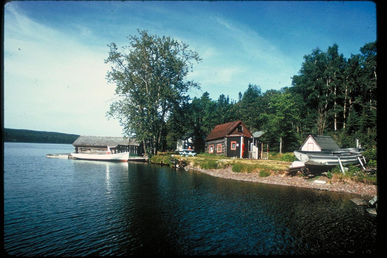
Across Rock Harbor, a restored commercial fishing camp shows how Scandinavian families lived and fished here for generations; volunteers often demonstrate net mending in summer. A short walk leads to the white Rock Harbor Lighthouse, built in 1855 for copper ore shipping. The concession boat trip combines both with Lookout Louise or the Passage Island lighthouse.
At the south-western end, Windigo is the arrival point for boats from Minnesota, with a small visitor centre, store and camper cabins. Moose are often seen in the marshes nearby. Just offshore, the wreck of the steamer America lies in shallow water, its bow close enough to the surface to see from a boat on calm days.
The south-eastern shore is cut by long, sheltered harbours and chains of inland lakes linked by portage trails. Paddlers spend days here moving between campsites, listening for loons and watching for moose at dawn. Lake Superior's open water is cold and can turn rough fast, so stay close to shore and wait out the wind.
There is no road or bridge, and no vehicles are allowed. The park's own ship sails from Houghton, Michigan, to Rock Harbor in about six hours, a few times a week in summer. A faster passenger ferry from Copper Harbor, at the tip of the Keweenaw Peninsula, takes about three hours and runs daily in the main season. From Grand Portage in Minnesota, boats take about two hours to Windigo, and one circles the island, dropping hikers at shore campgrounds.
Seaplanes fly from Houghton to Rock Harbor and Windigo in under an hour, weather permitting, and save a day of travel. All services run only from late spring to early autumn and fill up in July and August, so book early. Leave your car in the ferry ports; boats carry canoes and kayaks for a fee.
Everything is on foot or by boat. More than 200 km of trails link the campgrounds, and distances between them are long, so hikers need lightweight gear, a stove and a filter, since all lake water must be treated. Canoes and kayaks can be rented at Rock Harbor and Windigo. The concession runs water taxis to trailheads along the shore, useful for one-way hikes. Trails are rocky, rooty and muddy after rain.
The park opens in mid-April and closes at the end of October, and boat services run only from about late May to September. July and August are the warmest months, with daytime highs often in the low twenties but cool nights, and the busiest, though even then crowds are tiny. Mosquitoes and black flies are worst in June and early July. Lake Superior stays cold all summer, and fog and storms can delay boats and seaplanes for a day, so build slack into your plans.
September is a good month for hiking, with fewer insects, autumn colour late in the month and moose more active, but nights can drop near freezing and services start to wind down. The island is one of the least visited national parks in the United States. Three to five nights is the minimum for a crossing on foot; two nights at Rock Harbor suits a gentler visit.
Rock Harbor has the island's only lodge, with rooms and housekeeping cottages, a restaurant and boat rentals, best for visitors who want day hikes without camping. Windigo has a few rustic camper cabins. Everyone else camps at the backcountry campgrounds, most with shelters or tent pads and pit toilets, using a free permit that sets the itinerary. Group sites and shelters are first come, first served.
Ancient peoples mined pure copper on Isle Royale thousands of years ago, leaving shallow pits that can still be found along the trails. The Ojibwe called the island Minong and used it for fishing and maple sugar. In the 19th century American companies tried copper mining with little success, followed by commercial fishermen, many from Scandinavia, and summer resorts. The island became a national park in 1940. Moose swam or walked across the ice in the early 1900s and wolves followed, giving rise to the world's longest study of predators and prey.
Isle Royale pairs well with the Keweenaw Peninsula: Copper Harbor's old fort and lakeside drives, and Houghton's copper mining heritage. From Grand Portage, Minnesota's North Shore runs south past waterfalls and state parks towards Duluth. Pictured Rocks National Lakeshore, with its coloured cliffs, is about four hours' drive east of Houghton.
Ferries from Houghton and Copper Harbor in Michigan or Grand Portage in Minnesota; seaplanes from Houghton.
From Houghton or Copper Harbor (Michigan): 3 to 6 h by ferry; under an hour by seaplane.
3 to 5 nights.
Jun–Sep; mid-Apr–May and Oct cold and quiet; park closed Nov to mid-Apr.
No. Isle Royale is car-free. On foot or by canoe and kayak; no roads or vehicles; water taxis along the shore.
Go if you want days of backcountry hiking or paddling with moose, loons and almost no people on a car-free island. Skip it or choose Mackinac or the Apostle Islands if you want comfort, easy access or a short, simple visit.
Mid-range; ferry and seaplane fares are the main cost.
No sandy beaches; rocky shores and pebble coves in very cold water.
Ferry seats, seaplane and lodge rooms months ahead for Jul–Aug.
Hawaiian Islands, United States
Oahu is the third-largest of the Hawaiian Islands and home to about a million people, two thirds of the state's…
331 tours & trips
Hawaiian Islands, United States
Maui is the second-largest of the Hawaiian Islands, two volcanoes joined by a low isthmus in the middle of the Pacific.
241 tours & trips
Florida Keys, United States
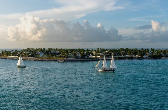
Key West is the coral island at the end of the Florida Keys, joined to the mainland by the Overseas Highway and closer…
160 tours & trips
Hawaiian Islands, United States
The Big Island, officially Hawaii Island, is the youngest and largest of the Hawaiian Islands, at 10,430 square…
149 tours & trips
Hawaiian Islands, United States
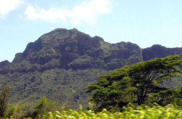
Kauai is the oldest and greenest of the main Hawaiian Islands, a 1,456-square-kilometre volcanic dome cut by Waimea…
67 tours & trips
United States
Galveston is a 43-km barrier island on the Texas Gulf Coast, an hour's drive south-east of Houston across a…
53 tours & trips