Senja
Norway
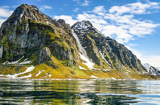
Senja is Norway's second-largest island outside Svalbard, about 1,590 square kilometres of jagged peaks, fjords…
22 tours & trips
Norway · North Sea & Channel · Nature & wildlife island
Lofoten is a chain of mountainous islands in northern Norway, about 170 km north of the Arctic Circle, where granite peaks rise straight from the sea above red fishing cabins and white beaches. The islands are linked by bridges and tunnels along one road, and they offer midnight sun in summer and northern lights from autumn to spring.
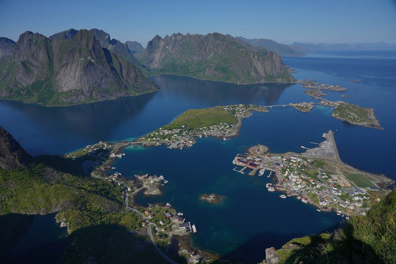
Photo: Lukas Beck, CC BY 4.0
| Getting there | Fly to Evenes and drive 3 h, fly to Svolvaer or Leknes from Bodo, or take the car ferry Bodo to Moskenes |
|---|---|
| Gateway | Bodo or Harstad/Narvik (Evenes airport) |
| Travel time | 3 h by car from Evenes, 3 to 3.5 h by ferry from Bodo |
| Days | 4 to 5 nights |
| Best months | Jun–Aug for midnight sun and hiking; Feb–Mar for snow and northern lights |
| Getting around | Rent a car; the E10 runs the whole chain; buses are infrequent |
| Booking | Cabins and rental cars months ahead for summer; car space on the Bodo ferry |
| Cost | Expensive, as everywhere in Norway |
| Beaches | White sand and cold sea: Haukland, Uttakleiv, Ramberg and Kvalvika, best for walks and surfing |
| Sea | North Sea & Channel |
| Area | 1,227 km² |
| Highest point | 1,146 m (Higravstinden) |
| Airport | Yes, scheduled flights |
| Car-free | No |
| Bridge | Road bridge or causeway to the mainland |
| Checked | October 2026 |
Most visitors explore Lofoten by car on their own, so tours are additions rather than the core of a trip.
The best-known boat trip leaves Svolvaer for the Trollfjord, a two-kilometre gash in the mountains with walls rising straight from the water, and usually includes sea eagles. Fast inflatable boats take about two hours and need warm suits, which are provided; larger boats are slower and drier. Fishing trips, often with the catch cooked afterwards, and kayaking around Reine, Hamnoy, Eggum or Haukland are popular in summer, including midnight sun paddles.
Van tours from Svolvaer or Leknes run along the E10 to Henningsvaer, Nusfjord, Hamnoy and Reine, with stops for photographs and sometimes the Viking museum. They suit people who flew in without a car. Photo tours with a local photographer, private tours and multi-day photo trips follow the same route at a slower pace.
In winter the focus shifts to northern lights chases by minibus, snowshoe walks and even snorkelling in a drysuit. Guided hikes and climbs, including the rock pinnacle above Svolvaer, are for those who want a mountain with someone who knows it.
Rent a car, then book the Trollfjord trip and one kayak or hiking day.
At the western end of the road, red and yellow fishing cabins stand on stilts in front of sheer peaks reflected in the fjord. Stop on the bridges at Hamnoy and Sakrisoy, walk round Reine, and continue to A, the last village, with its stockfish museum. Fit walkers climb the steep stone staircase up Reinebringen for the classic view.
From a car park near Fredvang, a trail of about an hour climbs over a pass to Kvalvika, a white beach between cliffs open to the ocean; a longer loop continues to the summit of Ryten above it. The view down onto the bay is one of the finest on the islands. Paths are wet and muddy after rain, so wear boots.
A fishing village spread over small islands off the south coast of Austvagoy, reached by a narrow road and bridges about 25 km from Svolvaer. Cod racks, galleries, cafes and a football pitch on the rocks draw photographers. Come early or in the evening, and walk out to the harbour mouth to see the fishing boats come in.
In the middle of Vestvagoy, archaeologists found the remains of a chieftain's longhouse more than 80 metres long. The reconstructed hall now holds a museum where guides in costume show Viking life, with food, crafts and a replica ship on the lake in summer. It is about 15 minutes from Leknes and makes a good rainy-day stop.
Two white-sand bays on the north side of Vestvagoy, joined by a road tunnel or a coastal path of about an hour. The water is clear and very cold, but the setting under green mountains is superb, and on summer nights the midnight sun hangs over the sea. Unstad nearby is Norway's best-known surfing beach.
Our pick for each kind of trip, with live dates and prices. Free cancellation on most.
Best for: First visit, the Trollfjord by boat
A few hours from Svolvaer into the narrow, steep-walled Trollfjord, with white-tailed sea eagles fed close to the boat on the way.
The islands are joined to the mainland by the E10 road, with bridges and tunnels opened in 2007, so you can drive in from the north. The nearest large airport is Harstad/Narvik at Evenes, with flights from Oslo; from there Svolvaer is about three hours by car.
Small planes fly from Bodo to Svolvaer and Leknes in under 30 minutes, with connections from Oslo. From Bodo, the car ferry to Moskenes near Reine takes three to three and a half hours and runs several times a day in summer, less in winter; car space must be booked in summer and the crossing can be rough. Passenger express boats run from Bodo to Svolvaer, and the coastal ships call at Stamsund and Svolvaer every day.
A car gives the most freedom: the E10 runs about 130 km from Svolvaer to A, narrow in places, with single-lane bridges, tunnels and many camper vans in summer. Park only in marked places, as verges are protected. Local buses link the main villages but run rarely, especially at weekends and in winter. Cycling is popular in summer, though tunnels and traffic make some stretches unpleasant. Book rental cars early.
Summer is the main season. From late May to mid-July the midnight sun never sets, and June to August bring the best hiking, kayaking and road trips, with temperatures usually between 10 and 20 degrees and the most visitors. Rain and fog can arrive any day, so plan flexibly.
September brings autumn colours, fewer people and the first northern lights. From early December to early January the sun does not rise above the horizon, but there is soft blue light at midday. February and March combine snow on the peaks, longer days and good chances of aurora, and the winter cod fishery fills the harbours from January to April. The Gulf Stream keeps winters milder than the latitude suggests. Four or five nights let you cover both ends of the islands.
Split your stay between two bases. In the east, Svolvaer has the most hotels, restaurants and boat trips, and Henningsvaer and Kabelvag are charming alternatives nearby. In the west, the fishing villages of Reine, Hamnoy, Sakrisoy and Nusfjord offer rorbu cabins on the water, close to the best hikes and views. Leknes and Ballstad in the middle are practical, with shops and the airport. Book early for summer.
Lofoten has lived from cod for a thousand years. Each winter the skrei, Arctic cod, come south to spawn here, and fishermen from the whole coast once crowded into the rorbuer cabins for the season. The fish were dried on wooden racks into stockfish and shipped to Bergen and across Europe, a trade that made the islands rich in the Middle Ages. Viking chiefs ruled from halls like the one at Borg. Fishing still matters, but tourism, film and photography now bring around a million visitors a year.
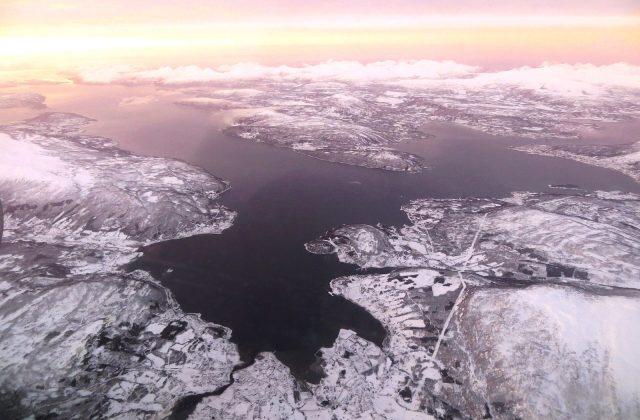
North of Lofoten, the Vesteralen islands are a short drive away and add whale watching from Andenes. Senja, further north, has similar peaks with fewer visitors, and Tromso is a day's drive or a short flight away. Bodo is the gateway from the south, linked with Oslo by train and plane.
Fly to Evenes and drive 3 h, fly to Svolvaer or Leknes from Bodo, or take the car ferry Bodo to Moskenes.
From Bodo or Harstad/Narvik (Evenes airport): 3 h by car from Evenes, 3 to 3.5 h by ferry from Bodo.
4 to 5 nights.
Jun–Aug for midnight sun and hiking; Feb–Mar for snow and northern lights.
Rent a car; the E10 runs the whole chain; buses are infrequent.
Go if you want sharp mountains over the sea, short hikes with huge views and old fishing villages. Skip it or choose the Vesteralen or Senja if you want fewer camper vans and lower prices, or if you dislike rain.
Expensive, as everywhere in Norway.
White sand and cold sea: Haukland, Uttakleiv, Ramberg and Kvalvika, best for walks and surfing.
Cabins and rental cars months ahead for summer; car space on the Bodo ferry.
Yes. Boat trips, guided tours and day trips for Lofoten can be booked online; live prices and free cancellation on most are shown on this page.
Norway
Senja is Norway's second-largest island outside Svalbard, about 1,590 square kilometres of jagged peaks, fjords…
22 tours & trips
Norway
Svalbard is a Norwegian archipelago of glaciers and bare mountains halfway between mainland Norway and the North Pole,…
15 tours & trips
Norway
Vesterålen is a group of mountainous Arctic islands in northern Norway, just north of Lofoten, linked to each other and…
3 tours & trips
Norway
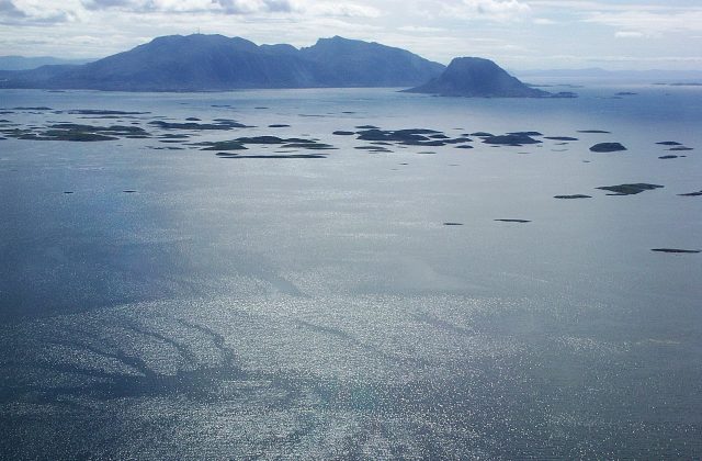
The Vega Archipelago is a scatter of around 6,500 low islands and skerries off the coast of Nordland, just south of the…
No tours listed