Alcatraz
4 km away
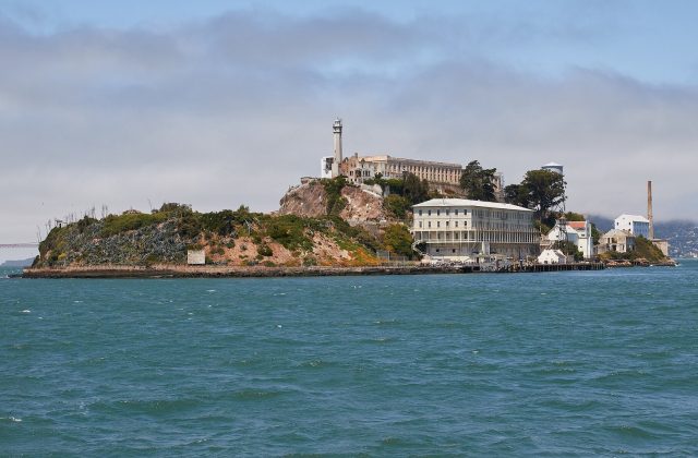
Alcatraz is a rocky islet of about 9 hectares in San Francisco Bay, two kilometres off the city waterfront, best known…
42 tours & trips
United States · Pacific Ocean · Historic island
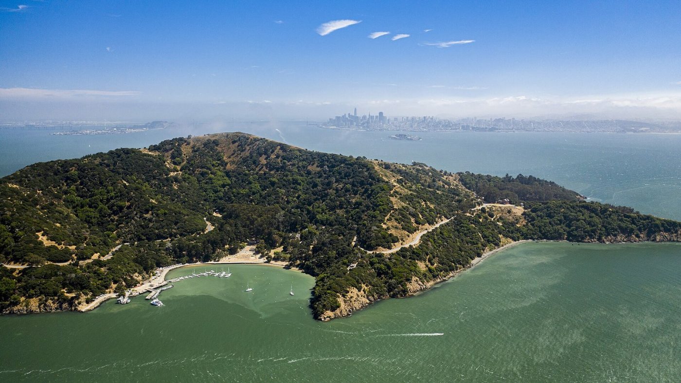
Angel Island is the largest natural island in San Francisco Bay, a hilly state park reached by ferry from San Francisco or Tiburon, with views over the Golden Gate and the city skyline. Once known as the Ellis Island of the West, it holds an immigration station where Chinese detainees carved poems into the walls.
| Getting there | Ferries from Tiburon in about 15 min year-round; seasonal ferries from San Francisco Pier 41 |
|---|---|
| Gateway | San Francisco (Pier 41) / Tiburon |
| Travel time | 15 min by ferry from Tiburon or 30 min from San Francisco |
| Days | A day trip is enough |
| Best months | Apr–Oct; Sep–Oct clearest views; fog in summer afternoons |
| Getting around | Car-free: walk, cycle or take the tram tour along the perimeter road |
| Booking | Ferries on summer weekends; campsites months ahead; tram tours on the day |
| Cost | Mid-range; the ferry is the main cost |
| Beaches | Small sandy beaches at Quarry Beach and Perles Beach; cold water and no lifeguards |
| Sea | Pacific Ocean |
| Area | 3.1 km² |
| Population | 57 (2000) |
| Highest point | 240 m (Mount Caroline Livermore) |
| Airport | No |
| Car-free | Yes |
| Checked | November 2026 |
Little is sold online for Angel Island itself. The whole island is part of Angel Island State Park. One product is a combined ferry ticket from San Francisco that pairs the island with Alcatraz; it covers the ferry crossings, but check whether entry to Alcatraz, which needs its own timed tickets, and the tram on Angel Island are included.
Most visitors simply buy a round-trip ferry ticket from Tiburon or San Francisco and plan the day themselves. On the island you can rent bicycles and electric bikes at Ayala Cove, join a guided tram tour around the perimeter road with commentary on the island's history, or take guided Segway tours in season. Docents and rangers run tours of the Immigration Station, which has its own small entry fee; check the opening days, which are reduced in winter.
There is a cafe at Ayala Cove with seasonal hours, and picnic areas around the island, so many visitors bring their own food.
Our recommendation: take the ferry from Tiburon, cycle or walk the perimeter road, and include a visit to the Immigration Station.
On the north-east shore, the barracks where immigrants, mostly from China, were held from 1910 to 1940 is now a museum. Detainees, some kept for months, carved poems into the wooden walls, and many can still be read with translations. It is a 30 to 45-minute walk or a short bike ride from Ayala Cove.
The island's summit, 240 metres high, gives a panoramic view of the Golden Gate Bridge, San Francisco, the Bay Bridge, Marin and Mount Tamalpais. Trails climb from Ayala Cove in about an hour through oak woodland and grassland. On clear days you can see far up and down the bay, though fog sometimes covers the top.
A paved road of about eight km circles the island, closed to private cars and shared by walkers, cyclists and the tram. Along the way it passes old military buildings, viewpoints and picnic spots, with constant views of the bay. Cycling it takes about an hour without stops; walking takes two to three hours.
On the west side of the island, the West Garrison was an army post founded during the Civil War, with officers' houses, a hospital and a bakery from the late 19th century. Some buildings have been restored, and volunteers sometimes stage living history days. It is about a 30-minute walk from Ayala Cove.
The sheltered cove where the ferries dock has a lawn, picnic tables, the visitor centre and the cafe, and it is named after the Spanish captain who anchored here in 1775. It was once the island's quarantine station. Kayakers and yachts use the moorings, and the small beach is good for children.
Angel Island can be reached only by boat. The ferry from Tiburon, across a narrow strait, takes about 15 minutes and runs daily in summer and on weekends in winter. Tiburon can be reached by car, with paid parking in town, by bus, or by ferry from San Francisco.
From San Francisco, ferries leave Pier 41 near Fisherman's Wharf, taking about 30 minutes, with fewer departures, mainly in the warmer months and at weekends. Some seasonal sailings also link the island with Oakland and Alameda. Bikes can be taken on the ferries, space permitting. Check the timetable before setting out, as the last ferry back can leave in the mid-afternoon. Private boats can moor at Ayala Cove for a fee, and experienced kayakers paddle over from Tiburon.
The island is car-free apart from park vehicles. The perimeter road and fire roads are ideal for walking and cycling, with some steep sections; bikes can be rented near the ferry dock. Trails climb to the summit and some are closed to bikes. The open-air tram tour circles the island with stops and commentary, useful for those with limited mobility. Distances are short, but allow time to get back to the dock for the last ferry.
April to October is the best time, with more ferries, open facilities and dry weather. Summer brings warm days, but fog often rolls in through the Golden Gate in the afternoon, and the wind can be cold on the summit. September and October usually have the clearest, warmest weather of the year in the bay.
In spring, the hills are green and wildflowers bloom, and the island is quieter outside weekends. Winter is cooler and wetter, with ferries running less often, mostly at weekends, and reduced hours at the Immigration Station. Summer weekends and holidays are busiest, so come on a weekday if you can. A day is enough to see the main sights; campers can spend the night at environmental campsites, which must be booked months ahead.
There are no hotels on the island, only a handful of environmental campsites, reserved months in advance, with water nearby and no showers. Most visitors stay in San Francisco, with the widest choice, and take the ferry from Pier 41. Tiburon and Sausalito in Marin County are quieter, with smaller hotels and the shortest ferry crossing, good for a relaxed visit.
The Coast Miwok people visited the island to fish and hunt for thousands of years. In 1775 the Spanish ship San Carlos anchored here during the first European survey of the bay, and later the island was used for cattle ranching. From the Civil War to the 1960s it served as a military base, including a Nike missile site during the Cold War. The quarantine station and the Immigration Station operated in the early 20th century, during the Chinese Exclusion Act. It became a state park in the 1950s.
Angel Island pairs easily with Alcatraz, both reached from San Francisco piers, though on different boats. From Tiburon, combine a visit with Sausalito and Muir Woods in Marin County, about 30 minutes by car. The Golden Gate Bridge can be crossed on foot or by bike on the way.
4 km away
Alcatraz is a rocky islet of about 9 hectares in San Francisco Bay, two kilometres off the city waterfront, best known…
42 tours & trips
Ferries from Tiburon in about 15 min year-round; seasonal ferries from San Francisco Pier 41.
From San Francisco (Pier 41) / Tiburon: 15 min by ferry from Tiburon or 30 min from San Francisco.
A day trip is enough.
Apr–Oct; Sep–Oct clearest views; fog in summer afternoons.
No. Angel Island is car-free. Car-free: walk, cycle or take the tram tour along the perimeter road.
Go if you want a car-free day of hiking or cycling with views of San Francisco Bay and a moving piece of immigration history. Skip it if you only have time for one island; Alcatraz is the better-known stop for first-time visitors.
Mid-range; the ferry is the main cost.
Small sandy beaches at Quarry Beach and Perles Beach; cold water and no lifeguards.
Ferries on summer weekends; campsites months ahead; tram tours on the day.
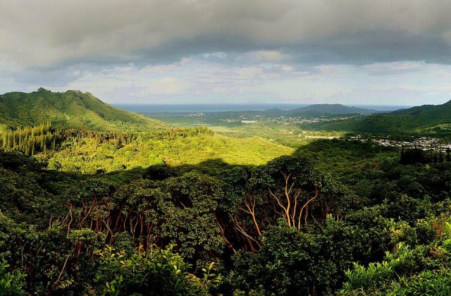
Hawaiian Islands, United States
Oahu is the third-largest of the Hawaiian Islands and home to about a million people, two thirds of the state's…
331 tours & trips
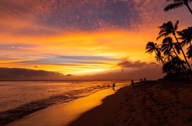
Hawaiian Islands, United States
Maui is the second-largest of the Hawaiian Islands, two volcanoes joined by a low isthmus in the middle of the Pacific.
241 tours & trips
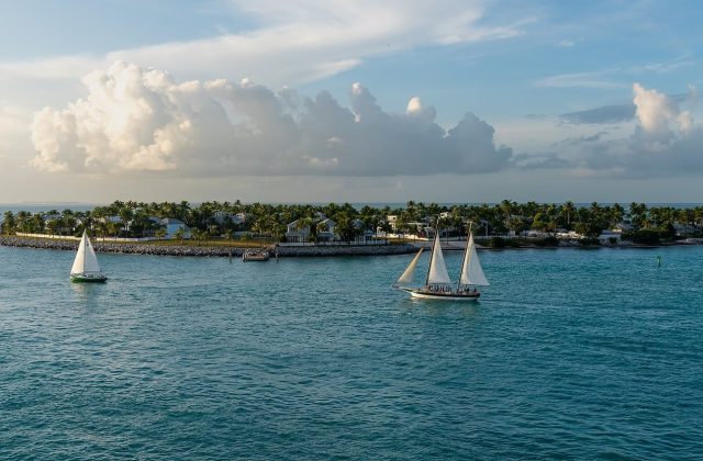
Florida Keys, United States
Key West is the coral island at the end of the Florida Keys, joined to the mainland by the Overseas Highway and closer…
160 tours & trips
Hawaiian Islands, United States
The Big Island, officially Hawaii Island, is the youngest and largest of the Hawaiian Islands, at 10,430 square…
149 tours & trips
Hawaiian Islands, United States
Kauai is the oldest and greenest of the main Hawaiian Islands, a 1,456-square-kilometre volcanic dome cut by Waimea…
67 tours & trips
United States
Galveston is a 43-km barrier island on the Texas Gulf Coast, an hour's drive south-east of Houston across a…
53 tours & trips